Top 5 Hiking Trails in the Conejo Valley (Plus a Bonus!)
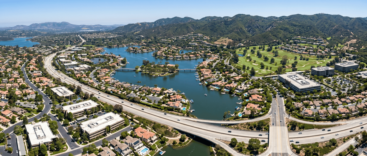
🌄 One of the best things about living in the Conejo Valley is having easy access to so many incredible hiking trails right in our backyard. Whether you’re looking for a quick sunset stroll, a weekend workout with stunning views, or a peaceful escape into nature, there’s a trail here for everyone. Below are my personal picks for the top 5 local hikes — plus a bonus trail that takes you all the way to the beach — along with a few personal stories and tips to help you enjoy them like a local.
1️⃣ Wildwood Regional Park — Paradis
Falls Trail
📍 Trail Map: https://conejoopenspace.gov/wp-content/uploads/2024/05/Wildwood_TrailMap_2pg_20240109.pdf
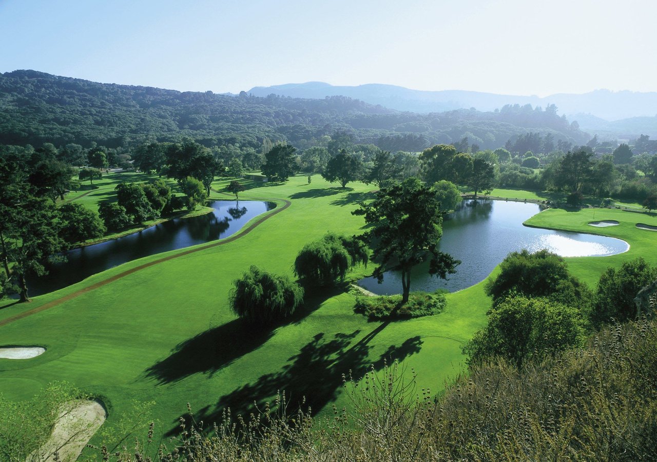
🌳 Wildwood is a Conejo Valley classic — pen grasslands, shady groves, rugged cliffs, and the famous Paradise Falls. It’s a must-see for all ages and even starred in classic Western TV shows.
Trail Highlights:
• 💧 Paradise Falls — 70-foot waterfall
• 🦎 Lizard Rock — panoramic views
• 🕳️ Indian Cave — volcanic cave with Chumash history
• 🌿 Diverse terrain and wildlife
Distance & Difficulty:
~2.8-mile loop, easy to moderate
Personal Note from Craig:
I’ve always loved Wildwood Park. The sheer variety of scenery and topography — open grasslands, shady groves, rugged cliffs, and that waterfall — all packed into one place, is something special. Some of my favorite memories are from hikes down to Paradise Falls with friends, backpacks loaded with lunch, spending the day in nature before hiking back out.
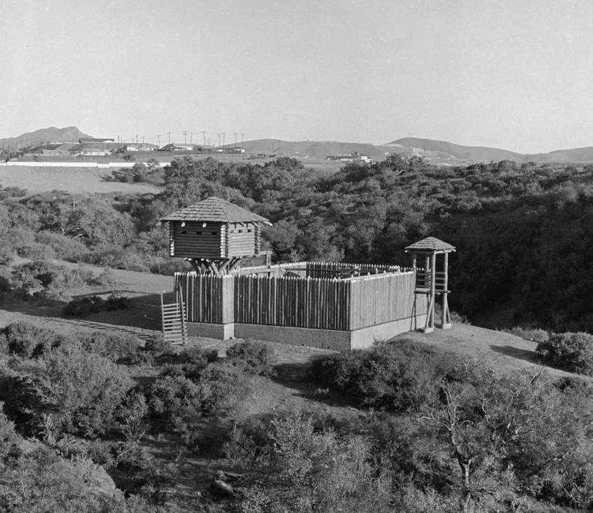
As a kid, I remember playing on the old wooden fort structure that was originally built to help attract homebuyers in the early 1970s.
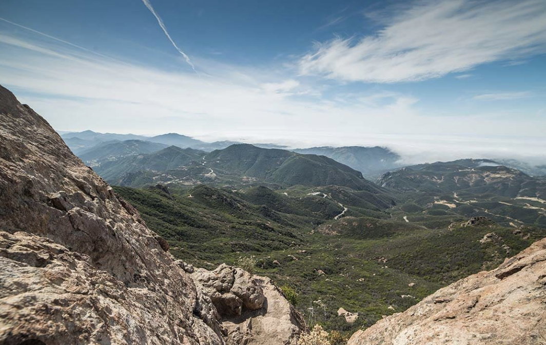
2️⃣ Backbone Trail — Mishe Mokwa to Sandstone Peak
📍 Trail Map: https://www.nps.gov/samo/planyourvisit/backbonetrail.htm
⛰️ Sandstone Peak is the highest point in the Santa Monica Mountains. The Mishe Mokwa loop has shady canyons, massive boulders, and ridgeline views that stretch to the Channel Islands.
Trail Highlights:
• 🏔️ Sandstone Peak summit
• 🪨 Split Rock resting spot
• 🗿 Balanced Rock & Echo Cliffs
• 🌅 Coastal & valley views
Distance & Difficulty:
~6.1-mile loop, moderate
Personal Note from Craig:
Sandstone Peak is one of those trails that sticks with you — not just because it’s the highest point in the Santa Monica Mountains, but because of everything you pass on the way there. The Mishe Mokwa loop offers incredible variety: shaded canyons, massive boulders, and wide-open ridgelines with views that seem to go on forever.
Split Rock is a great mid-point to pause and catch your breath, and the final push to the summit gives you just enough of a challenge without being over the top. The view at the top — on a clear day — is one of the best anywhere in Southern California. You can spot the coastline, the Conejo Valley, and even the Channel Islands.
This one’s a must-hike for locals.
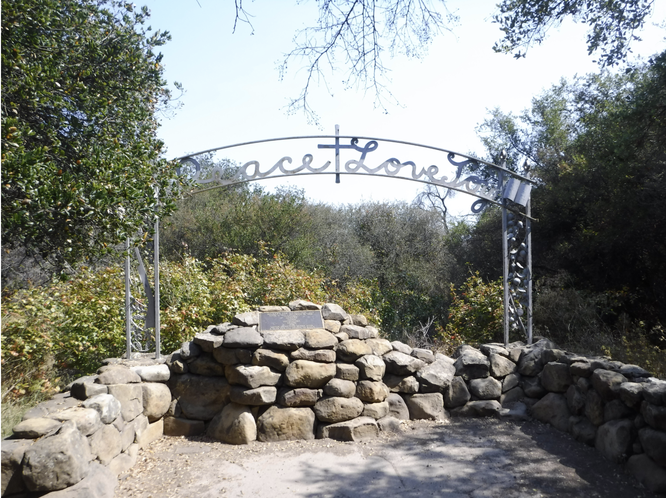
3️⃣ Boney Mountain via Danielson Monument
📍 Trail Map: https://www.alltrails.com/trail/us/california/danielson-monument-trail
🏞️ This rugged favorite starts at Satwiwa Cultural Center, climbs past a seasonal waterfall to the historic Danielson Monument, and rewards you with sacred Chumash ridge views.
Trail Highlights:
• 🗿 Danielson Monument & ruins (Interested in a little history?)
• 💦 Seasonal waterfall
• 🌄 Old Boney Trail Ridgeline
• 🪶 Chumash heritage museum (Definitely stop by for a visit on your way through)
Distance & Difficulty:
~8–11 miles round-trip, moderate–strenuous
Personal Note from Craig:
This was the first real hike I ever did as a kid. I used to look up at Boney Mountain from the backyard of the house I grew up in — this giant, rugged ridge always looming in the distance. I’d stare at it for years, wondering what it would be like to actually hike it.
Then one day, as a new member of Boy Scout Troop 753, I got my answer. That first hike up the trail left a mark on me — the creek crossings, the steep sections, the silence up near the monument. It was challenging, exciting, and gave me a real appreciation for the land I’d always seen but never truly experienced.
Even today, every time I’m on that trail, it brings me back to that feeling. This hike will always be special.
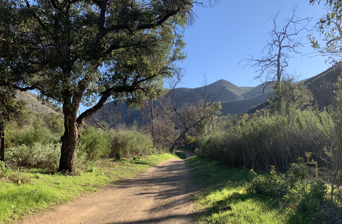
4️⃣ Triunfo Canyon Trail (Los Robles Trail System)
📍 Trail Map: https://conejoopenspace.gov/wp-content/uploads/2023/06/los_robles_trail_map-2pgs_sec.pdf
https://conejoopenspace.gov/wp-content/uploads/2023/06/los_robles_trail_map-2pgs_sec.pdf
🌳 Part of the larger Los Robles system — shady creekside trail, right at the edge of town. It’s overlooked by many and perfect for an easy, peaceful escape.
Trail Highlights:
• 💧 Seasonal creek
• 🌿 Oak groves & riparian habitat
• 🦉 Low traffic, local wildlife
• 🌼 Wildflowers in spring
Distance & Difficulty:
~3.5 miles out-and-back, easy
Personal Note from Craig:
This trail is just one piece of the larger Los Robles trail system, which stretches from Westlake all the way through to Newbury Park with plenty of access points along the way. But this particular spot means a lot to me.
Back in my late teens, I started coming here because I had a girlfriend who lived right next to it. We’d take evening walks along the trail, soaking in the quiet and the scenery. It was simple but special — just us, the oaks, and the sound of the creek when it was running.
Even now, every time I walk Triunfo, those memories come back. It’s still a peaceful escape right in the middle of town, and it’ll always be one of my favorites.
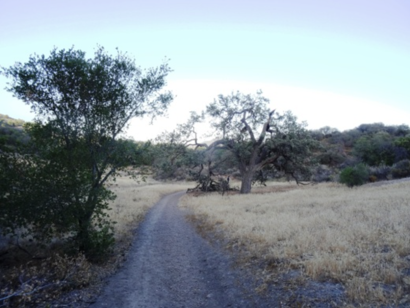
5️⃣ China Flat Trail to Simi Peak
📍 Trail Map: https://www.nps.gov/samo/planyourvisit/upload/Cheeseboro_2023.pdf
🌾 Oak woodlands and meadows lead you to Simi Peak — the highest point in the Simi Hills. Wide open prairie feel, yet close to town.
Trail Highlights:
• 🌼 China Flat meadow
• 🏞️ Simi Peak summit
• 🌷 Wildflowers in spring
• 🌅 Panoramic valley views
Distance & Difficulty:
~5.6 miles out-and-back, moderate
Personal Note from Craig:
China Flat Trail to Simi Peak has always felt like a mini-adventure. The climb through the shady oak groves lifts you up to China Flat Meadow, which opens up like something out of Little House on the Prairie — fitting, since that classic show was filmed just over the hills in Simi Valley.
The final push to Simi Peak is satisfying but not overwhelming. Once you’re at the top, there’s rarely a crowd, and the views stretch from the Conejo Valley to the San Fernando Valley and beyond. It’s one of those local summits that still feels like a hidden reward every time.
If you’re in the mood for a moderate hike with wide-open spaces and a bit of TV nostalgia, this one’s a solid pick

✨ BONUS — Big Sycamore Canyon Trail to Sycamore Cove Beach
📍 Trail Map: https://www.nps.gov/samo/planyourvisit/upload/RanchoSierraVista_Satwiwa_2024_Reduced.pdf
🌊 A gentle fire road drops from Newbury Park foothills all the way to the Pacific — one of the rare local trails that takes you inland to beach, all on foot.
Trail Highlights:
• 🌳 Sycamore Creek & groves
• 🚴 Gentle downhill for bikes & hikers
• 🦌 Wildlife & birding
• 🏖️ Sycamore Cove Beach
Distance & Difficulty:
~6 miles one-way, easy
Personal Note from Craig:
This trail is special to me because it was practically in my backyard growing up. I’ve probably done Big Sycamore Canyon more than any other trail in the Conejo Valley.
Back in the day, we’d drive a truck down to Sycamore Cove at the bottom, park it there, and then shuttle back up to the inland trailhead. We’d hop on our bikes and cruise the entire canyon downhill to the beach, spend the day playing in the surf and barbecuing, then toss the bikes in the truck and drive back up. Simple, perfect days.
The ride (or hike) down is mostly downhill and winds through shady groves, open fields, and across multiple creek crossings. It’s such a beautiful route that you almost forget how much elevation you’re dropping — until you try to ride back up. If you know, you know: that hill has a reputation for a reason.
It’s a must-do if you live nearby. Trust me — park a car at the bottom and thank me later.
Protecting the Trails We Love — COSCA & Community Stewardship
These trails stay beautiful thanks to the Conejo Open Space Conservation Agency (COSCA) and the Conejo Open Space Foundation (COSF). Please consider volunteering or donating to keep our local trails protected.
COSCA: https://conejoopenspace.gov
COSF: https://cosf.org
🌟 Happy Hiking — and Let’s Connect!
I hope these trails bring you as much connection and joy as they’ve given me over the years. If you ever want to talk about trails, neighborhoods, or what makes living in the Conejo Valley so special, I’d love to help.